San Francisco Bay Area Braces for Rain, Snow, and Thunderstorms as Weather Disturbances Converge
Rain, snow, and potential thunderstorms will affect the San Francisco Bay Area through Friday, per the National Weather Service. The National Weather Service (NWS) has issued a warning of rain, snow, and potential thunderstorms across the San Francisco Bay Area for Thursday through Friday. The NWS Forecast Office in San Francisco warned that commuters should expect treacherous driving, particularly in the Santa Lucia Range and the Mountains of San Benito County. The region is expected to see isolated rain showers and higher elevation snow showers gradually decreasing by Saturday. Major population centers are expected to welcome chilly temperatures, while higher terrain may only reach the upper 30s. Thunderstorm development is predicted at a 25-35% chance due to a cold air mass enveloping the region. The weather conditions could continue into the weekend, but a drier outlook is expected early next week.
Published : 2 months ago by Tony Ng in Weather
A cocktail of weather disturbances is set to shake up the San Francisco Bay Area, bringing rain, snow, and potential thunderstorms Thursday through Friday, according to the National Weather Service. In a report issued by the NWS Forecast Office in San Francisco, the region is expected to grapple with a mix of isolated rain showers and higher elevation snow showers tapering off by Saturday, but not before throwing a wet blanket over the tail end of the workweek.
Commuters should brace themselves for slick roads as "hail to the size of pennies" could make for treacherous driving Thursday afternoon, the forecast warned, especially those traveling along the Santa Lucia Range where up to 12 inches of snow could pile up, and in the Mountains of San Benito County where accumulations could exceed 4 inches. The Santa Cruz and North Bay peaks aren't getting a free pass either, anticipating up to 3 inches of their own. NWS Bay Area posted on X early Thursday that the AM commute would likely be impacted by rain showers moving inland with thunderstorms becoming a greater possibility as the day unfolds.
Inhabitants of major population centers can look forward to a chilly reception with temperatures struggling to "warm much above the mid 50s" while higher terrain may see the thermometer climb to only the upper 30s, per the Area Forecast Discussion section from the National Weather Service. Moreover, thunderstorm development, chock-full of small hail potential, hovers at a 25-35% chance as a cold air mass envelops the region, "Steep lapse rates aloft, surface CAPE, negative LIs, and little CINH all point to thunderstorms," the service detailed.
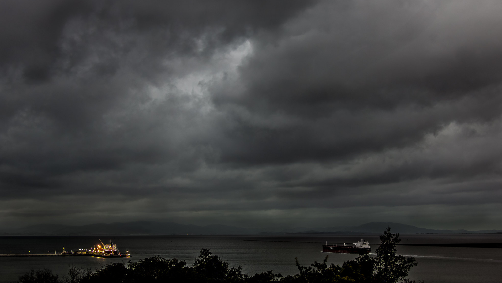
An additional layer of concern blankets the homeless and vulnerable populations as the combination of precipitation and below-normal temperatures could crank up hardships for those without shelter, as previously noted by forecasters the cold and wet conditions could persist into the weekend although the latest guidance suggests a drier outlook with "warmer and drier weather fully returns early next week." In the maritime sphere, the chaos continues with the NWS issuing a Small Craft Advisory and warning of a "winter-like pattern for early April" that carries gusty winds, rough seas, and the chance for thunderstorms at sea poised to test the mettle of mariners through Friday.